
Dunhuang: Mingsha Dunes, Crescent Lake and the Yangguan Desert
The dunes start where the street ends. Two days in the Gansu oasis where the Silk Road split in two — sand ridges, a crescent-shaped lake, Bactrian camels and the desert road west to Yangguan.

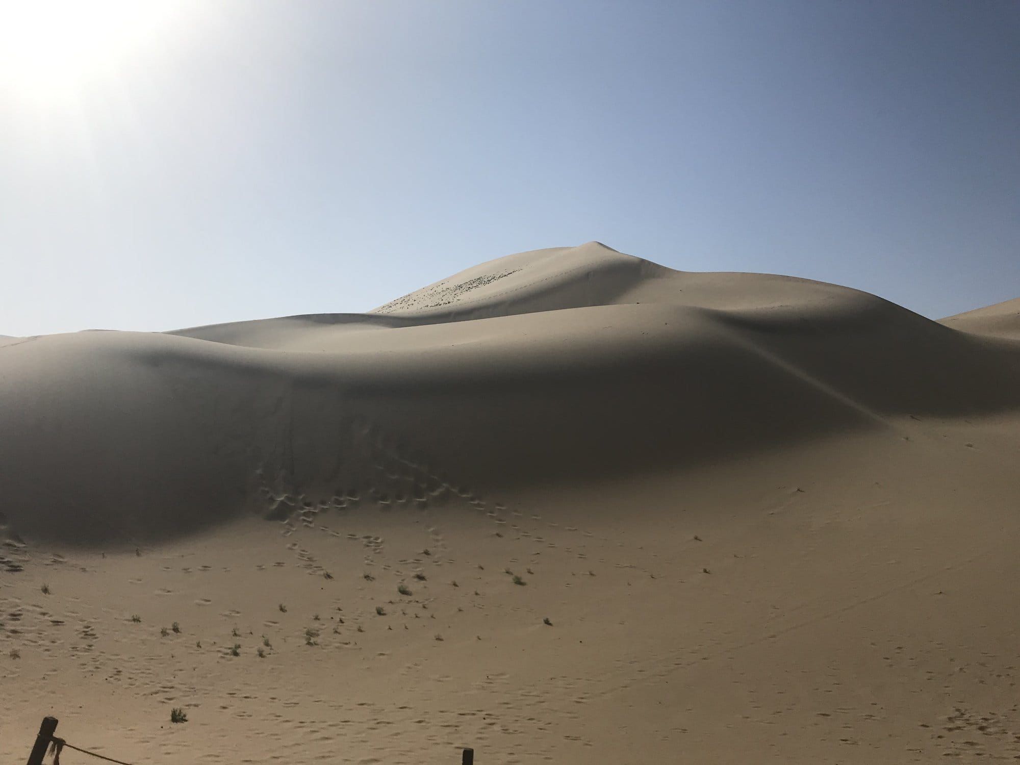
We had been told the dunes were close to town. We had not understood that they were the end of the street. You walk out of Dunhuang, past the last row of shopfronts, and there is a wall of sand several hundred metres high with a clean ridge along the top and a queue of people the size of ants working up it.
This was the first stop of the nine days we spent travelling west, four of us, our two boys then nine and six. It is still the stage they talk about most, which tells you something: after this come ancient cities, bazaars and a mountain road to 3,650 metres, and what stuck was the sand.
Dunhuang Is in Gansu, and That Is the Point
Dunhuang is not in Xinjiang. It sits in the far west of Gansu province, at the end of the Hexi Corridor, and the provincial border falls between here and the next stop. That matters practically as well as geographically: this is the one stage of the Silk Road itinerary with no border zone, no permit and no agency required to book a bed. You arrive, walk around and leave like anywhere else in China.
It belongs on a Silk Road trip anyway. Dunhuang is where the road divided. Caravans heading west had to choose between skirting the Taklamakan to the north or to the south, and the two gates that controlled those routes — Yumenguan and Yangguan — stand in the gravel plain west of the oasis. Everything further west on this trip follows from a decision taken here.
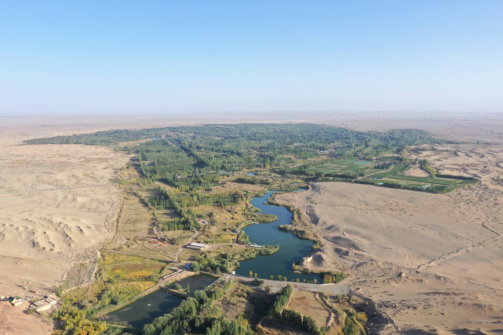
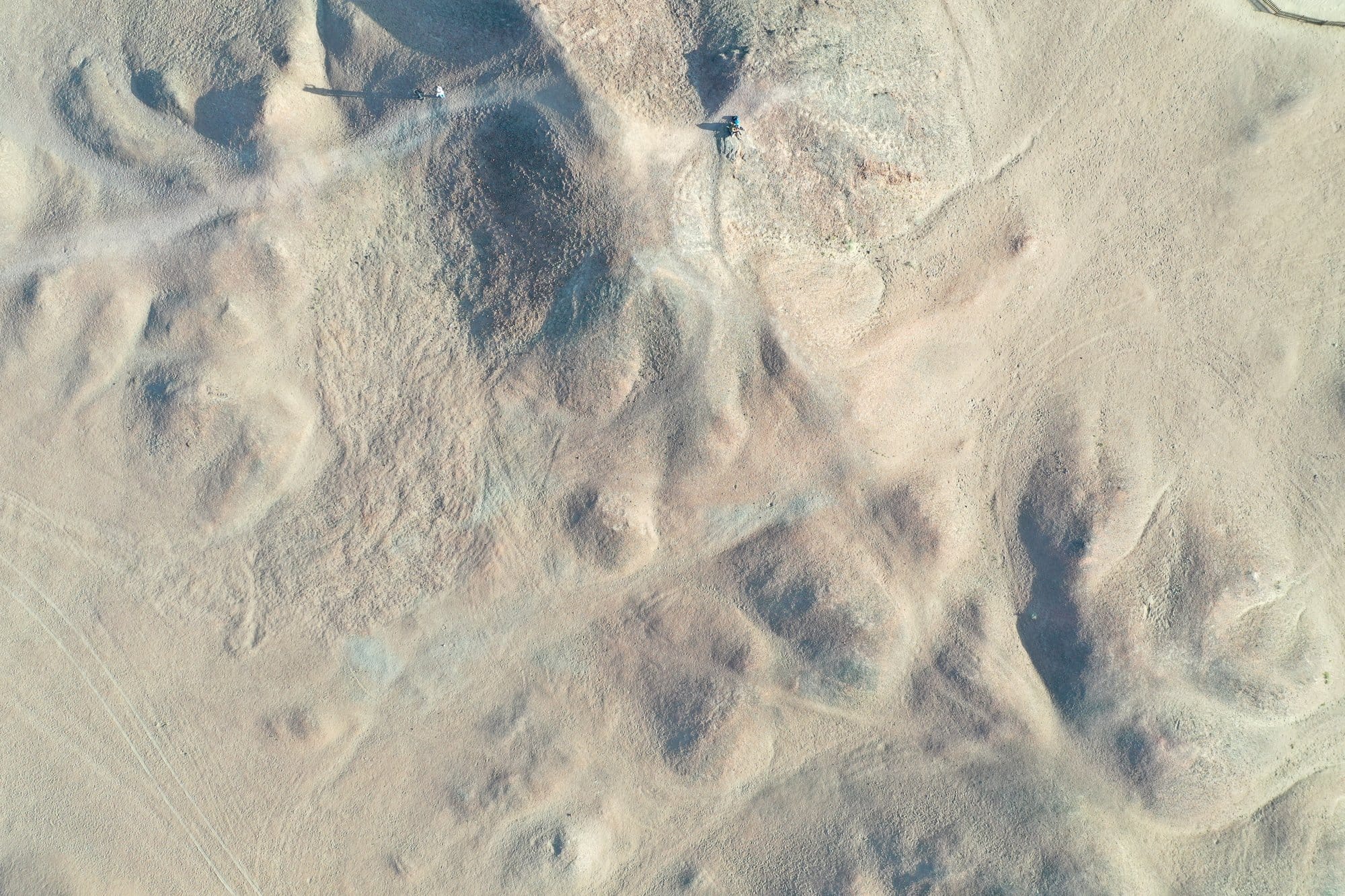
From the air the logic is obvious: the oasis is a green strip a few fields wide, and the desert stops where the water does.
Mingsha Shan: Where the Dunes Meet the Town
Mingsha Shan means Singing Sand Mountain, and the dunes are the reason to come. They are big — not the low rolling kind but a proper range, with crests, faces and secondary dunes behind, and shadows that redraw it every half hour.
There is a gate, a car park and a counter renting the orange over-boots everyone wears to keep sand out. Past that it is simply sand.
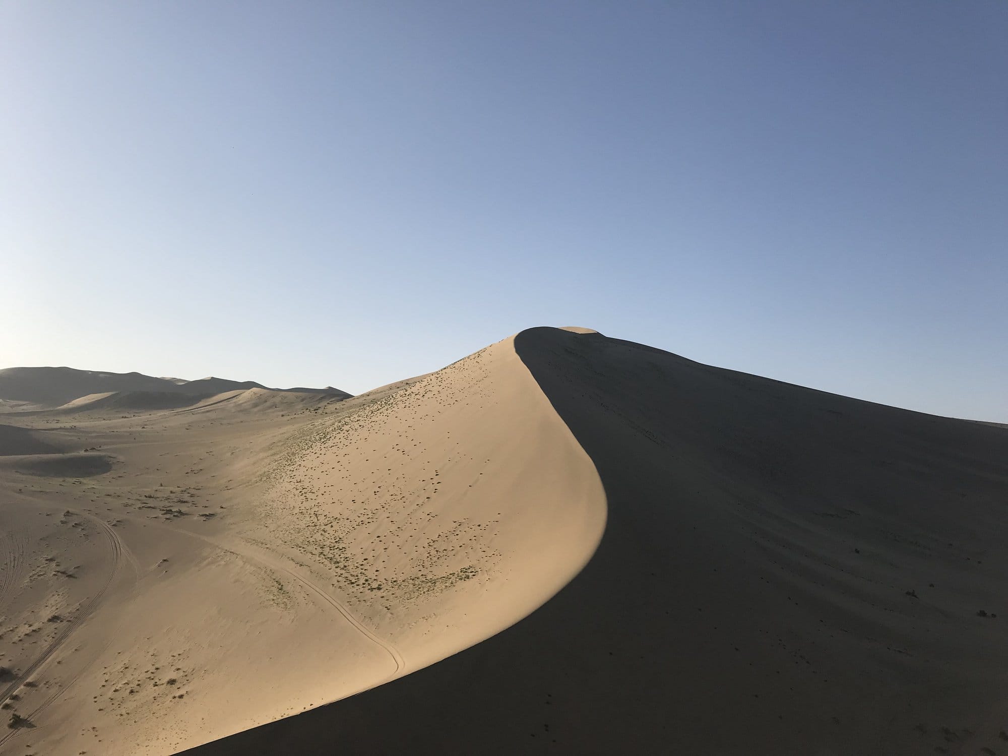
Two things surprised us. The climb is hard: soft sand takes about two steps for every one you gain, and the wooden ladder-steps up the main ridge are there for a reason. And it gets quiet fast — twenty minutes off the path, the crowds and the camel bells are gone.
Go late. We stayed until the light dropped, which is when the dunes do the thing they are famous for: one face gold, the other black, the ridge between them a single clean line.
Crescent Lake, Camels and the Climb to the Ridge
In a hollow between the dunes, improbably, there is a lake. Crescent Lake is a curved sliver of water with a wooden pavilion on its bank and a small stand of trees, and it has held on there for a very long time while the sand moved around it.
The photograph everybody wants is from above, and getting it means climbing. The ridge behind the lake is the steepest part of the site, and the view from the top makes sense of the place: the crescent, the pavilion roofs, the ring of dunes, and the esplanade far below with people the size of pinheads.
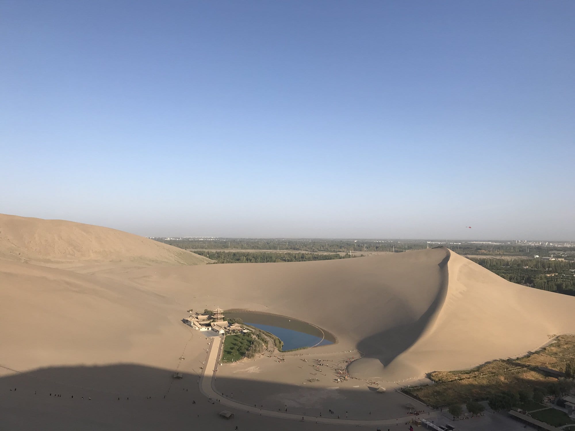
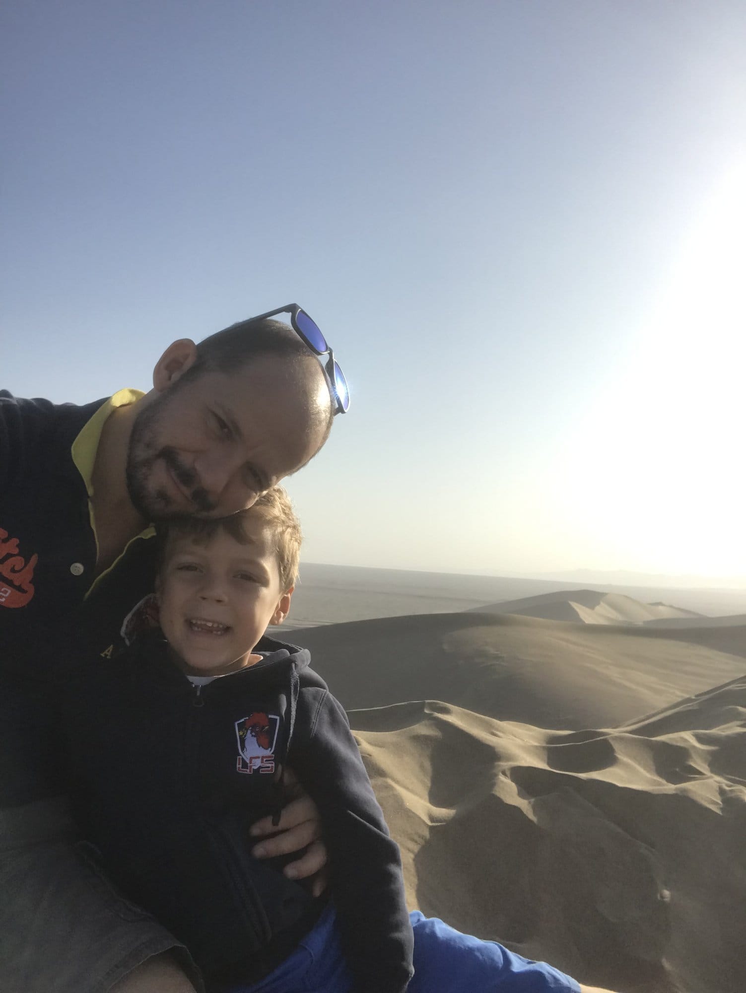
Our six-year-old made it up under his own steam, then discovered that the only way down a steep dune is to sit and slide.
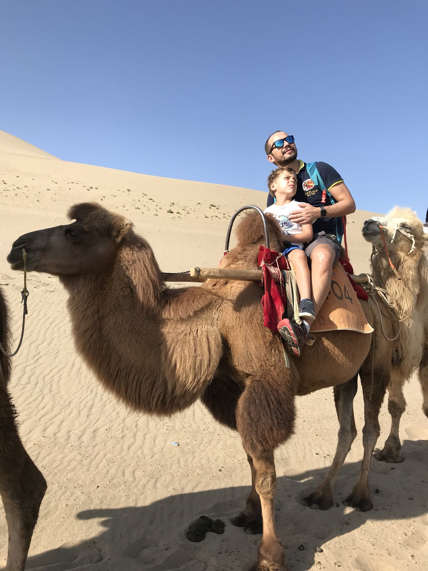
The camels are the other fixture, and they are Bactrian camels — two humps, thick shaggy coats, nothing like the single-humped camels of North Africa. They work in trains of several animals on a fixed loop through the dunes behind the lake. It is not a wilderness experience and nobody pretends otherwise, but for children it is the memory of the trip, and the view over the dune field is genuinely good. One warning: sitting on a camel while it stands up is far more dramatic than sitting on one while it walks. Hold the front of the frame.
West to Yangguan, Where the Road Divided
West of the oasis the ground changes character. Sand gives way to a hard stony desert of brown and ochre hills, low ridges and long views — bleaker than the dunes and, to us, more interesting. This is the country the southern Silk Road crossed.
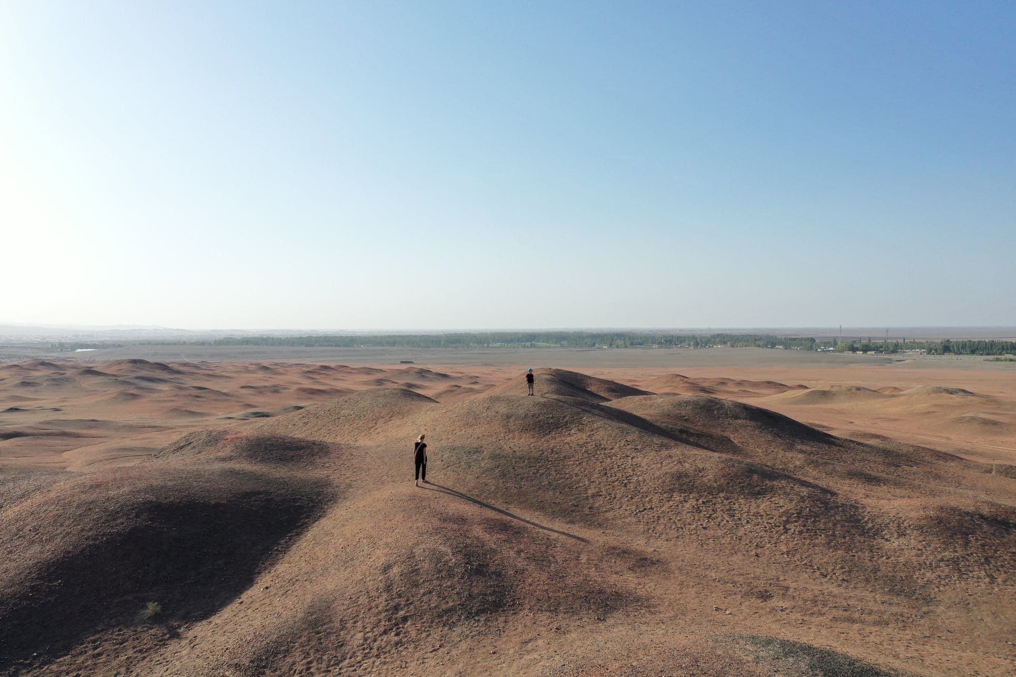
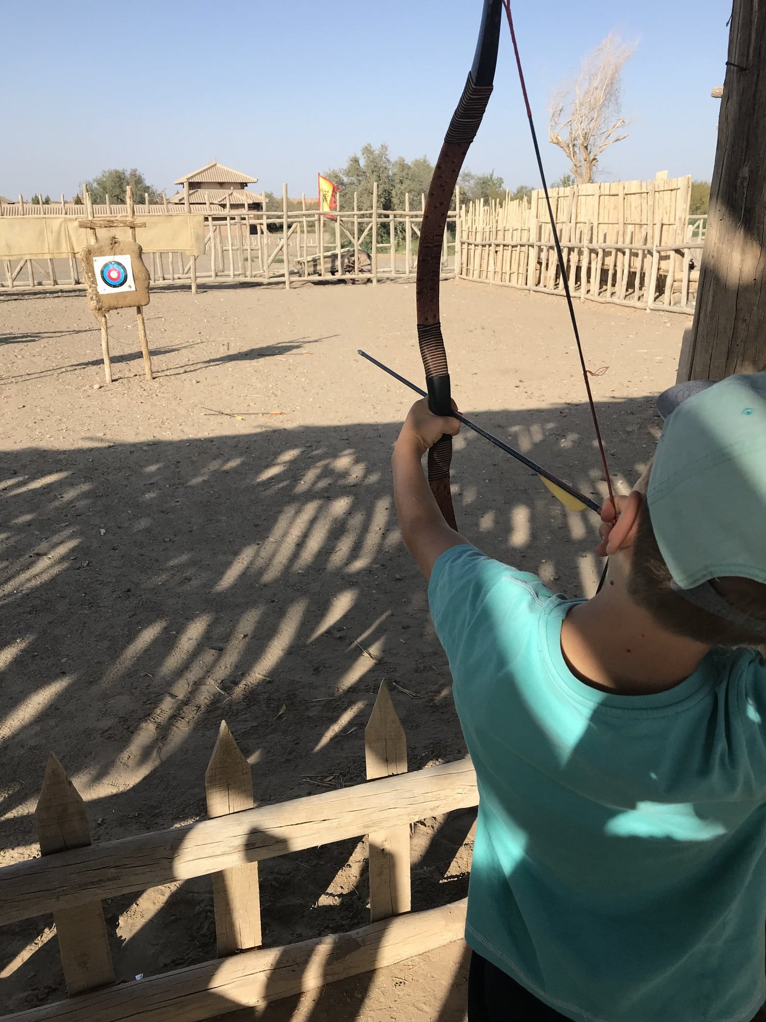
At Yangguan, the southern of the two Han-dynasty gates, there is a reconstructed fort: palisades, a watchtower and a walk-through museum explaining the garrison and the pass system that governed who went west. Reconstructions are often the weakest part of a heritage site, but this one worked for us because it is hands-on — our boys spent a long, happy half hour on the archery range shooting arrows at a target inside a timber stockade.
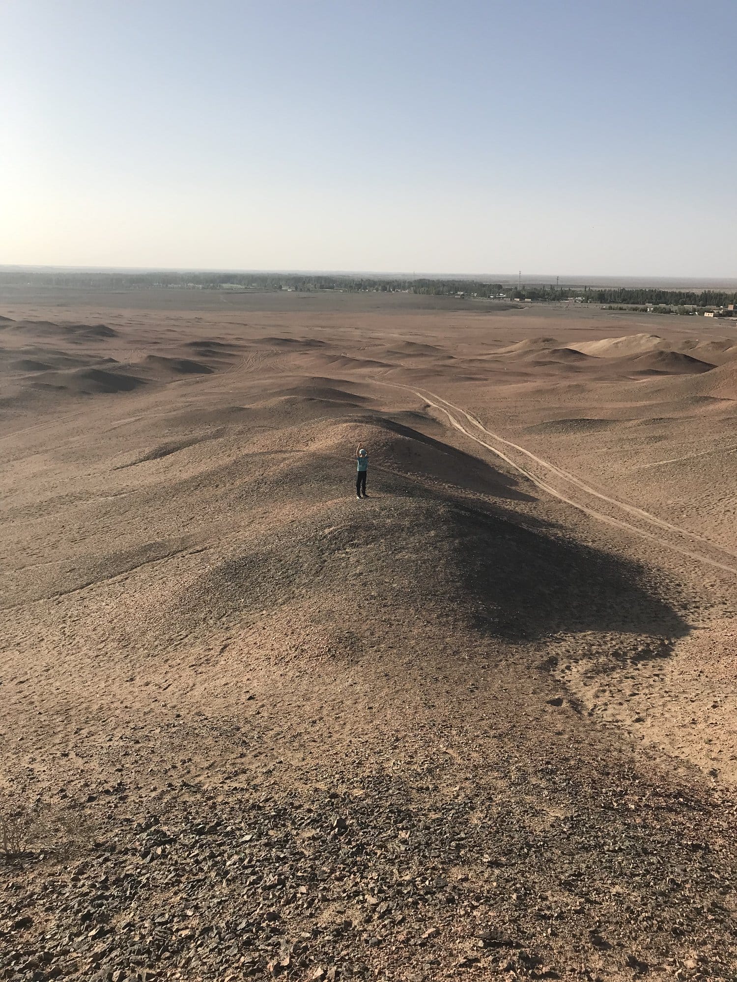
Behind the reconstruction, the real thing: gravel, ridges, the eroded stump of a beacon tower and an enormous amount of empty ground. It is the most convincing Silk Road geography on the whole trip, precisely because there is nothing on it.
The Mogao Caves
Dunhuang's other great sight is the Mogao Caves, a cliff of Buddhist grottoes cut and painted over centuries by the traffic passing through the oasis, and one of the most significant collections of Buddhist art anywhere. It is a UNESCO World Heritage site and the reason many travellers come to Dunhuang.
We will not describe the inside, for the simple reason that we have no photographs of it: photography is not permitted in the grottoes. Visits run as timed guided groups along a set route through a selection of caves, and tickets are arranged in advance. Check the current arrangements before you arrive.
Dunhuang After Dark
The town has a pedestrianised night market we ended up in twice. It is aimed squarely at visitors and none the worse for it: stalls of dried fruit, walnuts, apricots and raisins, the smell of grilling, lit rooftops and a great deal of noise. It also solves the evening problem: Dunhuang cools fast once off the sand, even in late September.
Practical Information
Getting there. Dunhuang has an airport and a high-speed rail station, and most Silk Road itineraries reach it from Lanzhou or Xi'an.
How long. Two nights: the caves, a full late afternoon on the dunes, and a half day west towards Yangguan.
When to go. Late September and early October suited us — warm days, cold evenings, fruit season at its peak. Midsummer is very hot, winter very cold, and 1–7 October is the National Day holiday, when a great many people travel at once.
What to take. Sun protection, more water than feels necessary, something to keep sand out of your shoes, and a camera bag that closes.
The next stage is different. Crossing the provincial border into Xinjiang changes the rules of the trip: foreign travellers meet frequent checkpoints and identity checks, not every hotel is authorised to accept foreign guests, and border areas such as the Karakoram Highway must be arranged through a licensed agency. The region is also the subject of documented human rights concerns, including a 2022 assessment by the UN Human Rights Office, and travellers should read their own government's current advice before committing. We have set out what this means day to day in a separate piece.
→ What to know before travelling to Xinjiang
→ Next stop west: Turpan: Tuyoq, Bezeklik and the Flaming Mountains
Frequently Asked Questions
Is Dunhuang worth visiting?
Dunhuang is worth two nights on any Silk Road itinerary in China. The Mingsha sand dunes rise directly from the edge of town and hold Crescent Lake in a hollow between them, and the Mogao Caves nearby are one of the most important Buddhist art sites in the world. It is also the easiest stage logistically, with an airport, a rail station and no permit requirements.
Is Dunhuang in Xinjiang?
No. Dunhuang is in Gansu province, east of the Xinjiang border, at the western end of the Hexi Corridor. It appears in Silk Road itineraries because it is the oasis where the northern and southern routes around the Taklamakan desert divided, but it carries none of the border-zone restrictions that apply further west, so no permit or licensed agency is needed to visit.
Can you climb the Mingsha sand dunes at Dunhuang?
Yes, the Mingsha dunes are open to walk on and climbing them is the main thing to do there. Soft sand makes the ascent slow, so wooden ladder-steps are laid up the principal ridge above Crescent Lake, and rental over-boots at the entrance keep sand out of your shoes. Late afternoon is the best time, when the light is better and the sand is no longer painfully hot.
What are the camels at Crescent Lake like?
The camels at Mingsha Shan and Crescent Lake are Bactrian camels, the two-humped Central Asian species, and they carry visitors in trains of several animals on a fixed circuit through the dune field. It is a managed ride rather than a desert expedition, but the elevated view over the dunes is excellent and children love it. The most alarming moment is when the camel stands up, so hold on to the saddle frame.
Can you take photographs inside the Mogao Caves?
No. Photography is not permitted inside the grottoes at Mogao, and visits run as timed guided groups along a set route through a selection of caves rather than as a free wander. Visitor numbers are controlled and tickets are arranged in advance, so check the current booking arrangements before travelling rather than turning up at the gate.
How many days do you need in Dunhuang with children?
Two nights works well for a family. That allows a late afternoon and evening on the dunes at Mingsha Shan, a morning at the Mogao Caves, and a half day west into the desert towards Yangguan, where the reconstructed fort has an archery range children tend to enjoy more than the museum. One day forces a choice between the caves and the sand.
More to Explore
- Silk Road China: A 9-Day Itinerary from Dunhuang to the Pamirs — the whole route, stage by stage - Turpan: Tuyoq, Bezeklik and the Flaming Mountains — the next stop west - Yunnan Itinerary: 11 Days from the Rice Terraces to Shangri-La — the other China we travelled that year - Tiger Leaping Gorge with Kids — a big landscape on foot with children