
Silk Road China: A 9-Day Itinerary from Dunhuang to the Pamirs
Nine days west along the old Silk Road, from the dunes of Dunhuang to a glacier lake at 3,650 metres — by night train, with a guide, and through about ten checkpoints.

We called this trip the Silk Road, and the name has stuck in the family ever since. Nine days, four of us, travelling west: from an oasis town in the Gobi to a lake at 3,650 metres with a 7,500-metre peak behind it. It remains one of the best trips we have done.
It is also the trip where we most needed someone who knew the rules. There were around ten checkpoints across those nine days, and the main job of the guide who travelled with us was to get us through them quickly. That is worth knowing before you start planning, because it shapes everything else.
The Route at a Glance
| Stage | Nights | Getting there | Altitude |
|---|---|---|---|
| **Dunhuang** (Gansu) | 2 | Fly or rail from Lanzhou / Xi'an | ~1,260 m |
| **Turpan** | 2 | High-speed rail west | below sea level |
| **Kashgar** | 3 | Overnight train from Turpan | ~1,290 m |
| **Karakul & Tashkurgan** | 1 | Karakoram Highway, guided | 3,650 m / 3,100 m |
| Back to **Kashgar** | 1 | Same road in reverse | ~1,290 m |
Nine nights, one direction, and a rise of nearly 3,700 metres between the lowest point and the highest. Run west to east if your flights suit that better; the only thing to keep is the gradual climb at the end rather than starting at altitude.
Note the first stop. Dunhuang is in Gansu, not Xinjiang — the provincial border falls between stages one and two. It belongs here anyway. The Silk Road did not observe modern provincial lines, and skipping the oasis where the northern and southern routes split would be like starting a Rhine trip at Cologne.
What the Guide Is Actually For
Most of Xinjiang can be travelled independently: trains, buses, planes, your own two feet. You carry your passport, you present an itinerary, you wait.
Two things change that in practice.
The border areas require an agency. The Karakoram Highway, Karakul and Tashkurgan sit in a border zone, and access there runs through a licensed travel company rather than a solo booking. The French foreign ministry puts it plainly: access to border areas may require a laissez-passer. Do not trust any specific figure you read about permit costs or lead times, including ours — the rules move, and a number from 2019 is worse than no number at all.
Not every hotel can take foreign guests. This is administrative rather than dramatic, and it is the single most practical reason to let an agency handle the bookings.
So the honest answer to "do I need a guide" is: not everywhere, yes for the mountains, and in our case having one for the whole nine days made the checkpoints take minutes instead of the better part of an hour. Ours was not a cultural interpreter. He was the person who knew which queue to join.
Day by Day
Days 1–2: Dunhuang
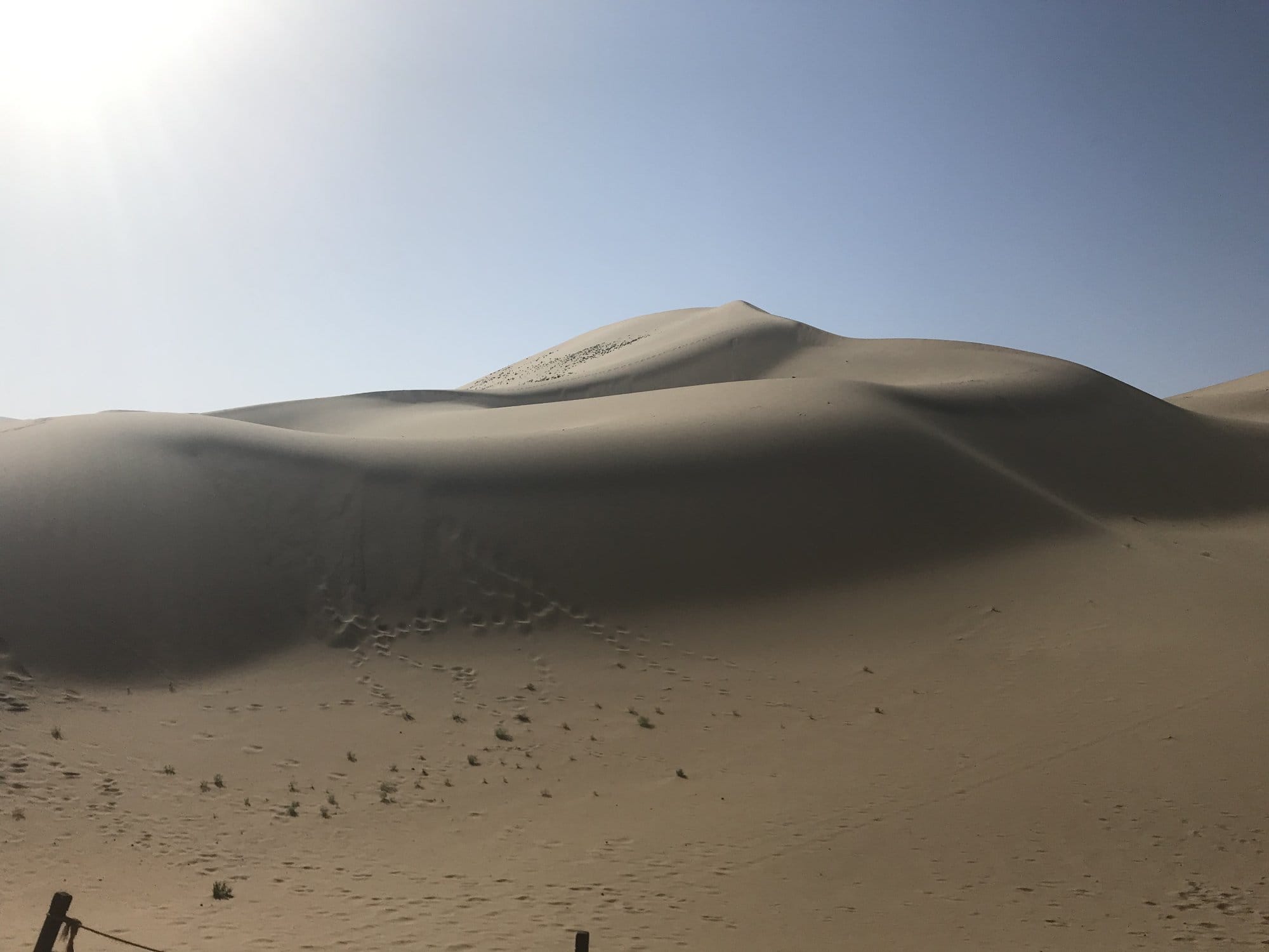
You arrive in an oasis. Mingsha Shan — the Singing Sand Dunes — rises straight out of the edge of town, and Crescent Lake sits in a hollow between the dunes with a pavilion beside it, exactly as improbable as it sounds. Camels, a climb up the ridge at the end of the day, and a night market selling dried fruit and walnuts.
West of town the desert opens out toward Yangguan, the Jade Gate's southern twin, where the Silk Road split. This is the least restricted part of the whole trip, and the only stage entirely in Gansu.
→ Dunhuang: Mingsha dunes, Crescent Lake and the Yangguan desert
Days 3–4: Turpan
The Turpan depression is one of the lowest places on earth — the floor of it drops to around 154 metres below sea level — and one of the hottest. In late September it was merely warm.
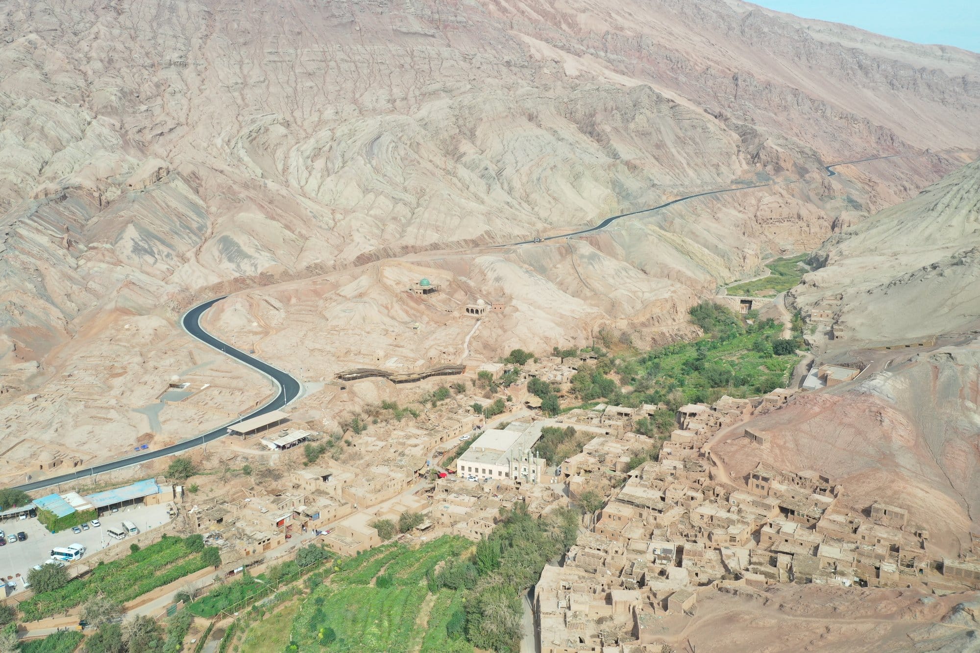
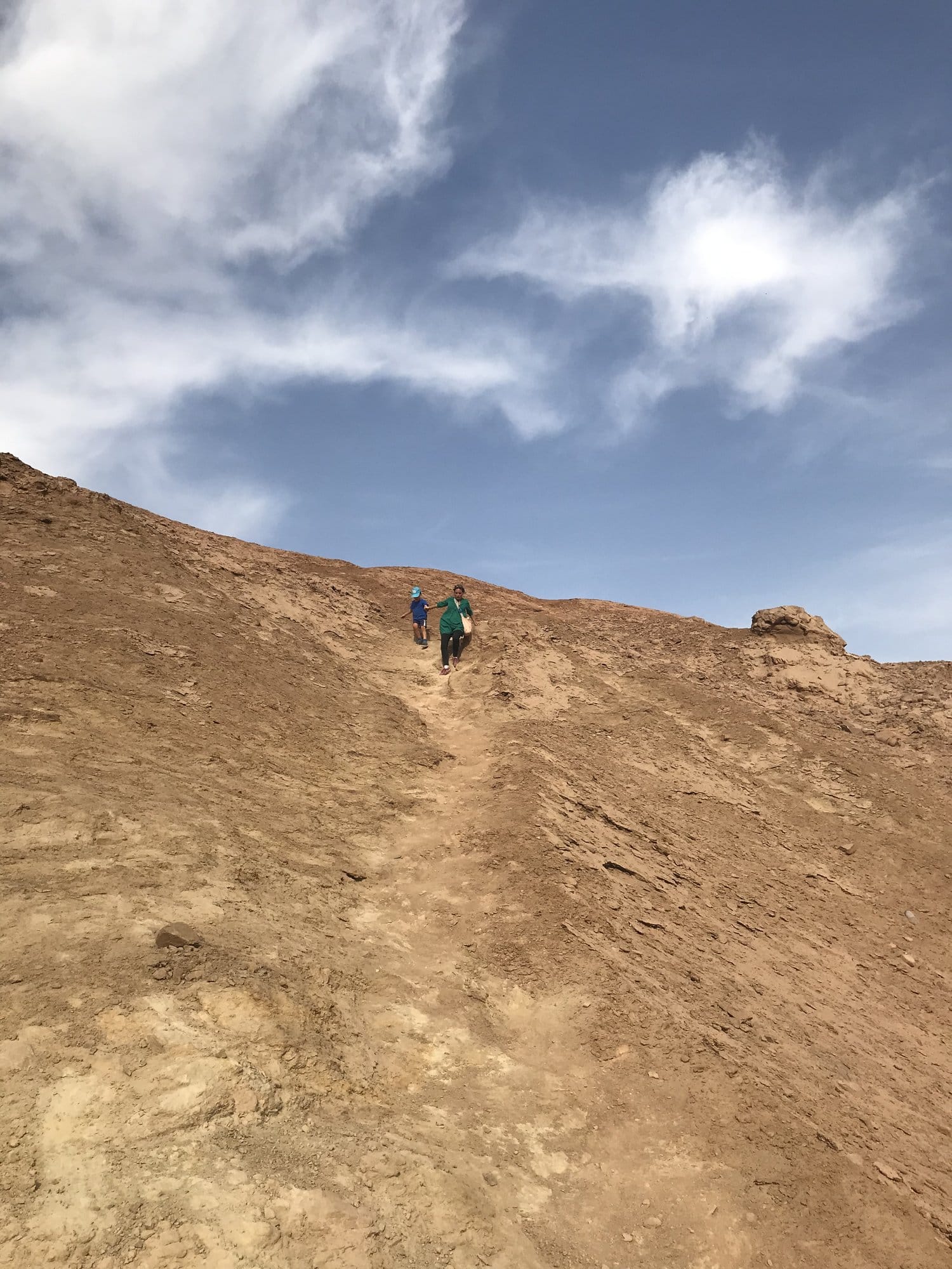
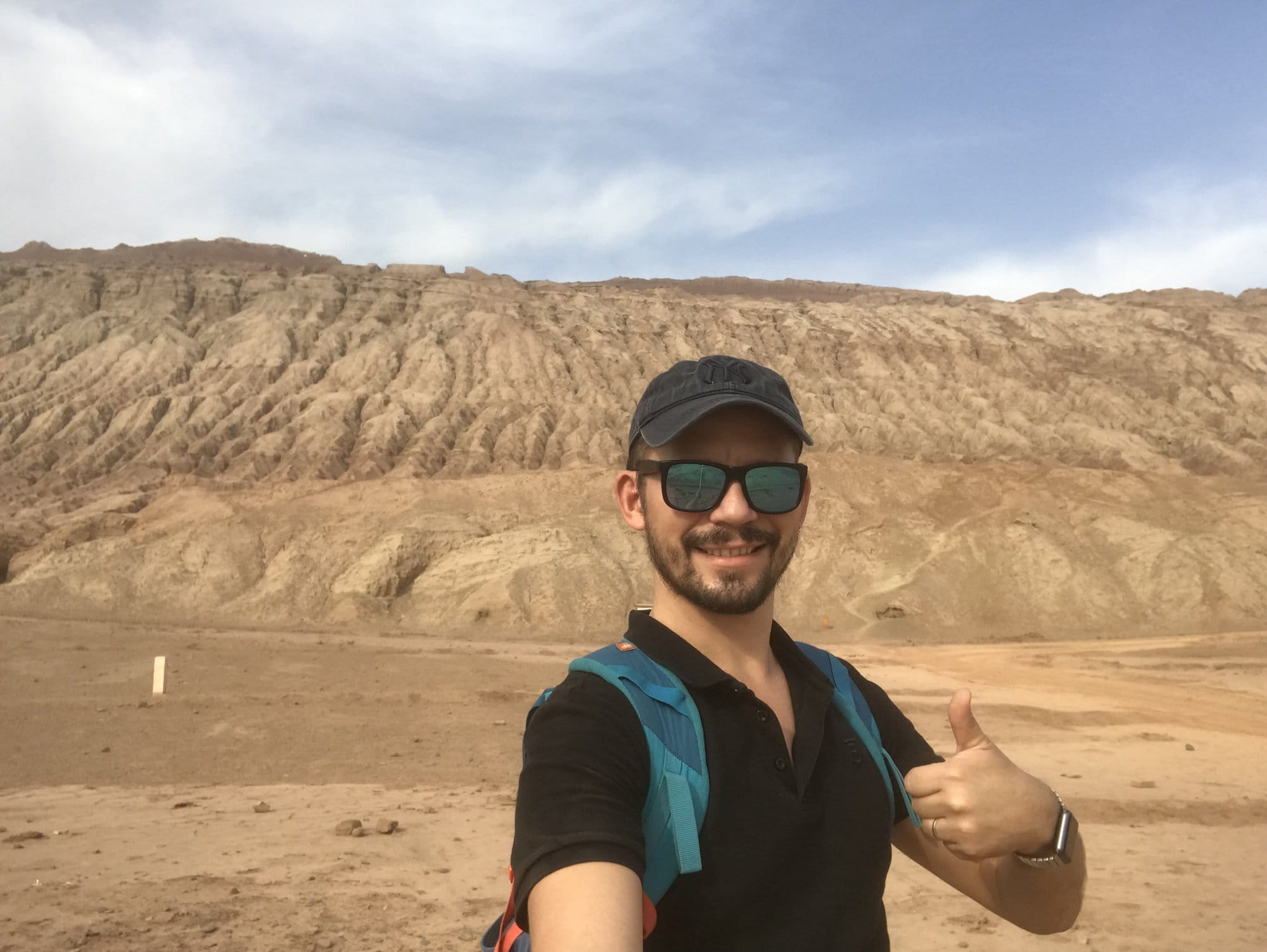
Three things carry this stage. Tuyoq, a mud-brick village in a gorge with a mosque at its centre and a road that switchbacks down to it. Bezeklik, Buddhist caves cut into a cliff above a green ribbon of river, their frescoes visibly damaged. And Jiaohe, a whole city of rammed earth standing on a plateau between two rivers, abandoned rather than destroyed.
→ Turpan: Tuyoq, Bezeklik and the Flaming Mountains
Days 5–7: Kashgar
The overnight train from Turpan is the right way to cover the 1,400 kilometres west. You wake up closer to Bishkek than to Beijing.
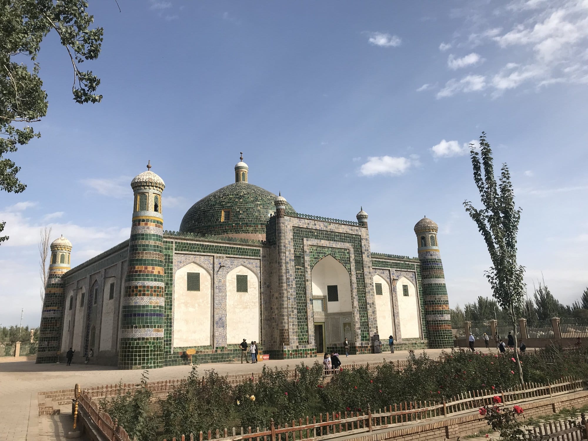
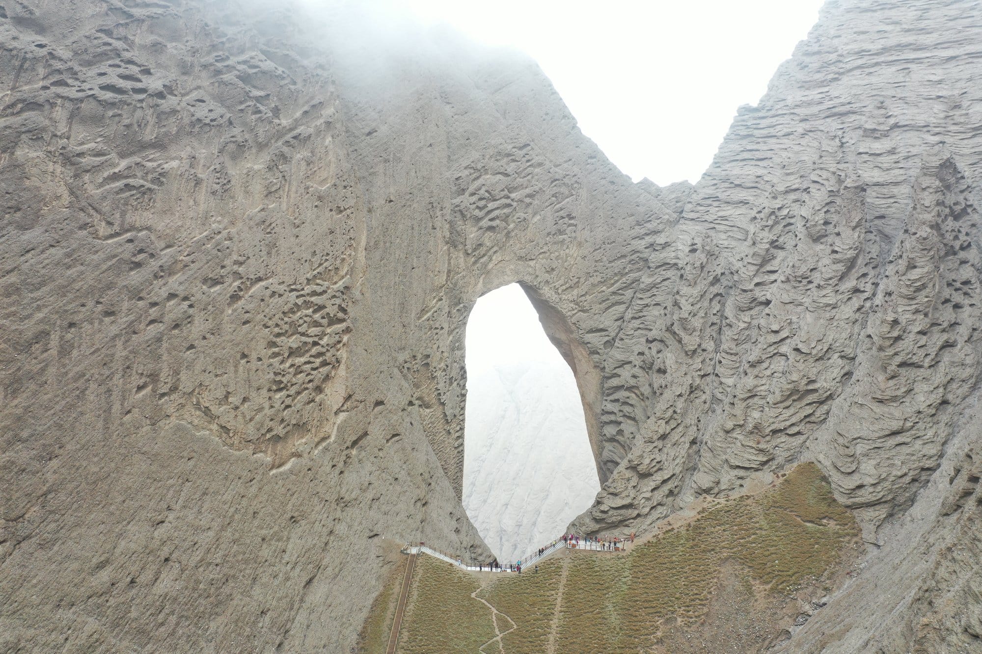
Kashgar is the reason most people come. The old town, the Afaq Khoja mausoleum under its green tiles, a covered market of apples and pomegranates and melons, coppersmiths' workshops, and — if your days fall right — the Sunday livestock market on the eastern edge of town, where yaks and sheep change hands across a rail. Shipton's Arch, one of the highest natural arches anywhere, is a day trip north-west.
→ Kashgar: old town, bazaars and the Sunday livestock market
Days 8–9: The Karakoram Highway
This is the stage people remember. The road leaves Kashgar at 1,300 metres and climbs through the Ghez canyon, where the rock turns a red you will not quite believe, past Baisha Lake, and up onto the Pamir plateau.
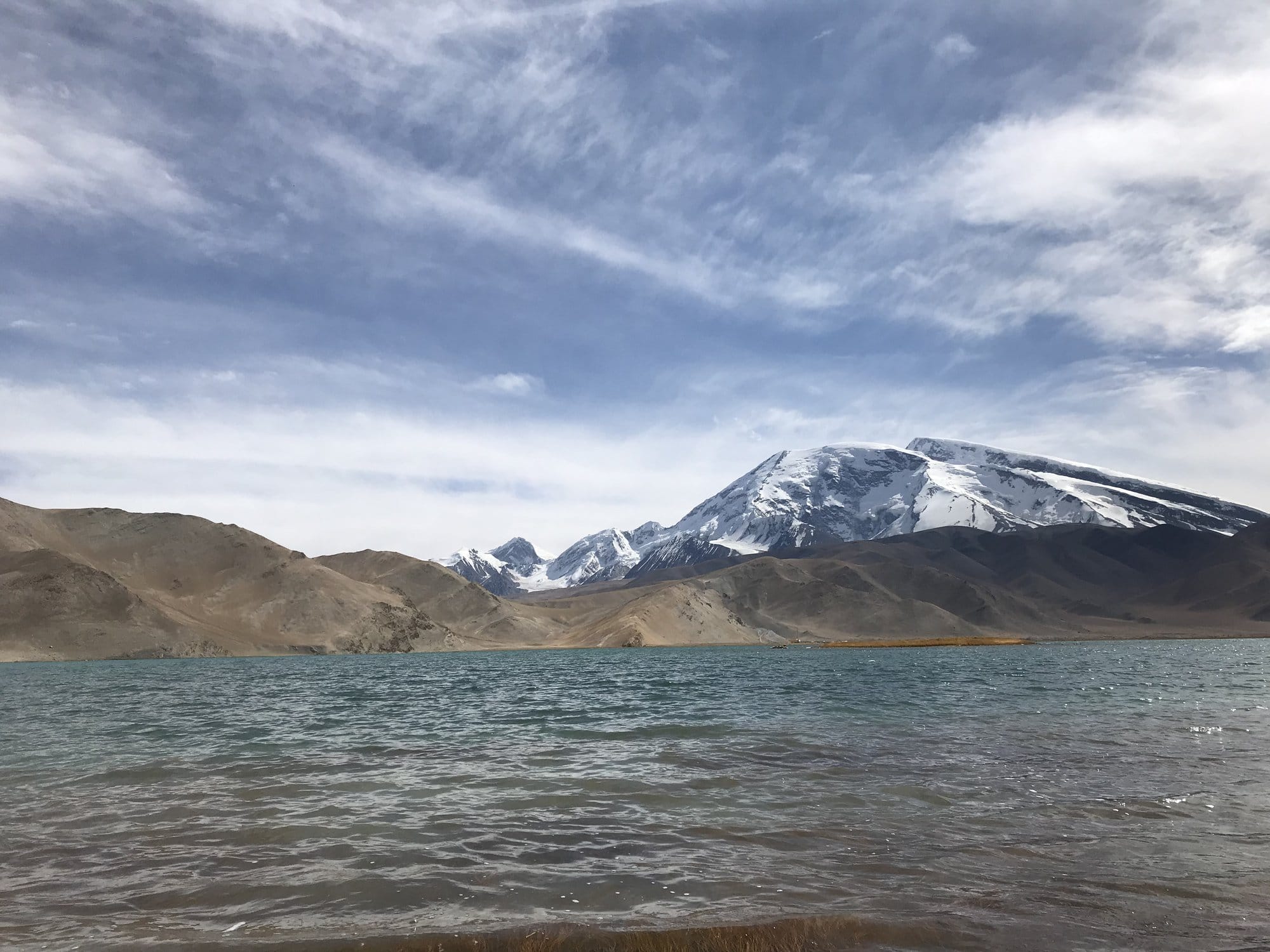
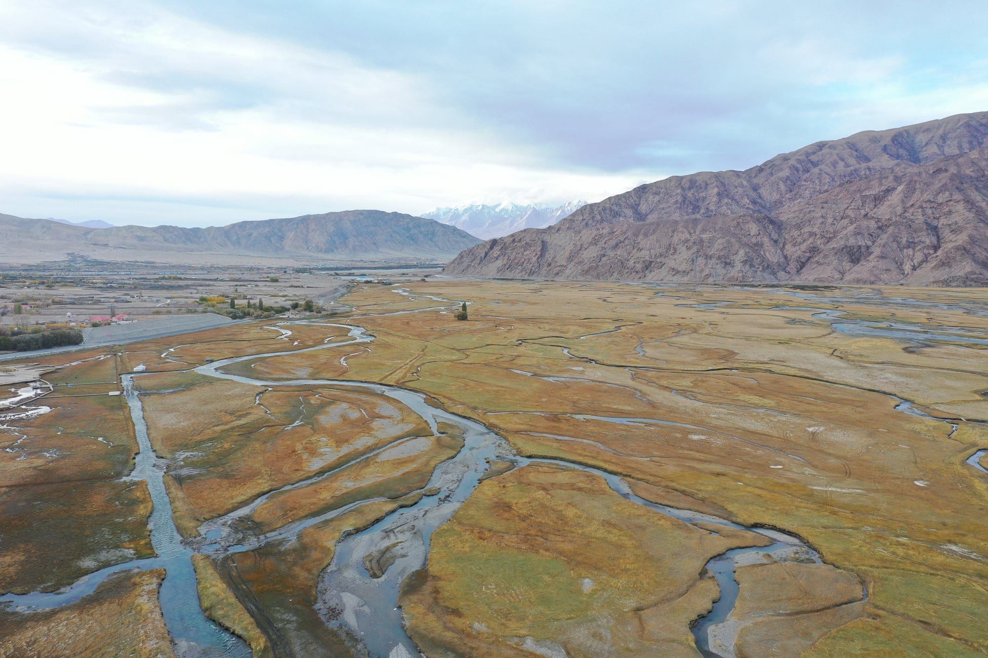
Karakul sits at 3,650 metres with Muztagh Ata — 7,509 metres, snow to the shoulder — standing over it. Tashkurgan, another 120 kilometres on, is close enough to Tajikistan and Pakistan that you can feel the map thinning out. Braided rivers, gold grass, and a horizon of mountains in three directions.
Take the altitude seriously if you have children. We went from below sea level to 3,650 metres in five days, which is a gentle enough profile, and everyone was fine — but the last stage gains 2,400 metres in a morning.
→ The Karakoram Highway: Ghez canyon, Karakul and Tashkurgan
When to Go
Late September and early October is close to ideal: Turpan has cooled from unbearable to pleasant, the Pamirs have not yet closed in, and the fruit season is at its peak.
One caveat we walked straight into. 1–7 October is the National Day holiday, when a very large number of people travel at once. We were in Kashgar on 2 October and the old town was dressed in flags for the anniversary — memorable, but not the quiet week we had pictured. If you can shift a few days earlier, do.
Winter closes the high sections of the Karakoram Highway. Summer makes Turpan genuinely dangerous at midday. May–June and September–October are the windows.
Practical Information
Getting in. Dunhuang has an airport and a high-speed rail station. Most itineraries arrive from Lanzhou or Xi'an, which is also how you would extend this trip eastward into the rest of the Hexi Corridor.
Trains. The high-speed line runs the length of the corridor; the westward leg to Kashgar is best done overnight. Book through your agency rather than fighting the ticketing system in a language you do not read.
Checkpoints. Expect them at city entrances, stations and on the highways, plus airport-style screening at markets and shopping centres. Carry your passport at every moment of the day. Do not photograph security installations or personnel — this is stated plainly in the UK and French travel advice and it is not advice to test.
Money and connectivity. Mobile payment dominates and foreign cards are awkward. Have your guide or agency help you set this up on day one rather than day four.
Context. Xinjiang is the subject of documented human rights concerns, and the French foreign ministry places it under heightened vigilance — the only region of China so classified. Travellers should read the UN Human Rights Office assessment and their own government's current advice before deciding to go. We have set out what this means in practice, including the checkpoints and the hotel restrictions, in a separate piece.
→ What to know before travelling to Xinjiang
Where This Itinerary Can Be Shortened
Cut Dunhuang and start at Turpan: you lose the dunes and the Gansu half of the story, but you save two days and a province.
Cut Turpan and fly Dunhuang to Kashgar: you lose Jiaohe, which would be a shame.
What you should not cut is the Karakoram Highway. Every other stage of this trip has an equivalent somewhere else in the world. That road does not.
The Other China We Saw That Year
We travelled in Yunnan six months before this trip, and the two have almost nothing in common beyond the passport stamp — flooded rice terraces and subtropical valleys on one side, stone desert and Pamir plateau on the other. If you are choosing between them, they answer completely different questions.
- Yunnan Itinerary: 11 Days from the Rice Terraces to Shangri-La - Yuanyang Rice Terraces: Which Viewpoint, Which Hour, Which Season - Lijiang and Shangri-La: Old Town Roofs and the Tibetan Plateau - Tiger Leaping Gorge with Kids
Frequently Asked Questions
How many days do you need for a Silk Road trip in China?
Nine days covers Dunhuang, Turpan, Kashgar and the Karakoram Highway at a steady pace, with two nights in each of the first two stops and three in Kashgar. Six days is possible if you skip Dunhuang and fly straight to Turpan or Kashgar, but the Karakoram Highway alone needs two days from Kashgar and back.
Do foreigners need a permit to travel in Xinjiang?
Most of Xinjiang can be travelled independently with a Chinese visa and a passport carried at all times. Border areas are different: the Karakoram Highway, Karakul and Tashkurgan sit in a border zone where access runs through a licensed travel agency, and a laissez-passer may be required. Requirements change without notice, so confirm with an agency and your own foreign ministry shortly before you travel.
Is Dunhuang in Xinjiang?
No. Dunhuang is in Gansu province, east of the Xinjiang border, and travelling there does not involve the border-zone rules that apply further west. It is included in Silk Road itineraries because it is where the northern and southern desert routes historically divided.
How high is the Karakoram Highway in China, and is altitude a problem?
The Chinese section climbs from about 1,300 metres at Kashgar to 3,650 metres at Karakul Lake and around 3,100 metres at Tashkurgan. That is high enough to feel, especially since the gain happens in a single morning's drive. Spending the preceding days at low altitude in Turpan and Kashgar is not real acclimatisation, so plan a slow first afternoon at the lake rather than a hike.
What is the best time of year for the Silk Road in China?
May to June and September to October. Turpan is one of the hottest places in China in midsummer, and the high sections of the Karakoram Highway are affected by snow in winter. Avoid 1–7 October, the National Day holiday, when domestic travel peaks.
Can you travel the Silk Road in China with children?
Yes, and the distances are the main constraint rather than the conditions. The overnight train between Turpan and Kashgar makes one long leg painless, the sites are outdoors and varied, and the altitude on the Karakoram Highway is manageable with a slow first afternoon. Expect children to be stopped and registered at checkpoints alongside adults.
More to Explore
Elsewhere in Asia, for a completely different kind of trip:
- Luang Prabang Itinerary: How to Spend 2-3 Days in Laos - 4 Days in Kyoto: The Perfect First-Timer's Itinerary