
Masca, Los Gigantes & Teno: Tenerife's Wild West Coast
The serpentine TF-436 to Masca, the towering cliffs of Los Gigantes and the red headland at Punta de Teno — the Teno peninsula is the wildest, most cinematic corner of Tenerife, and the perfect day out from the north coast.

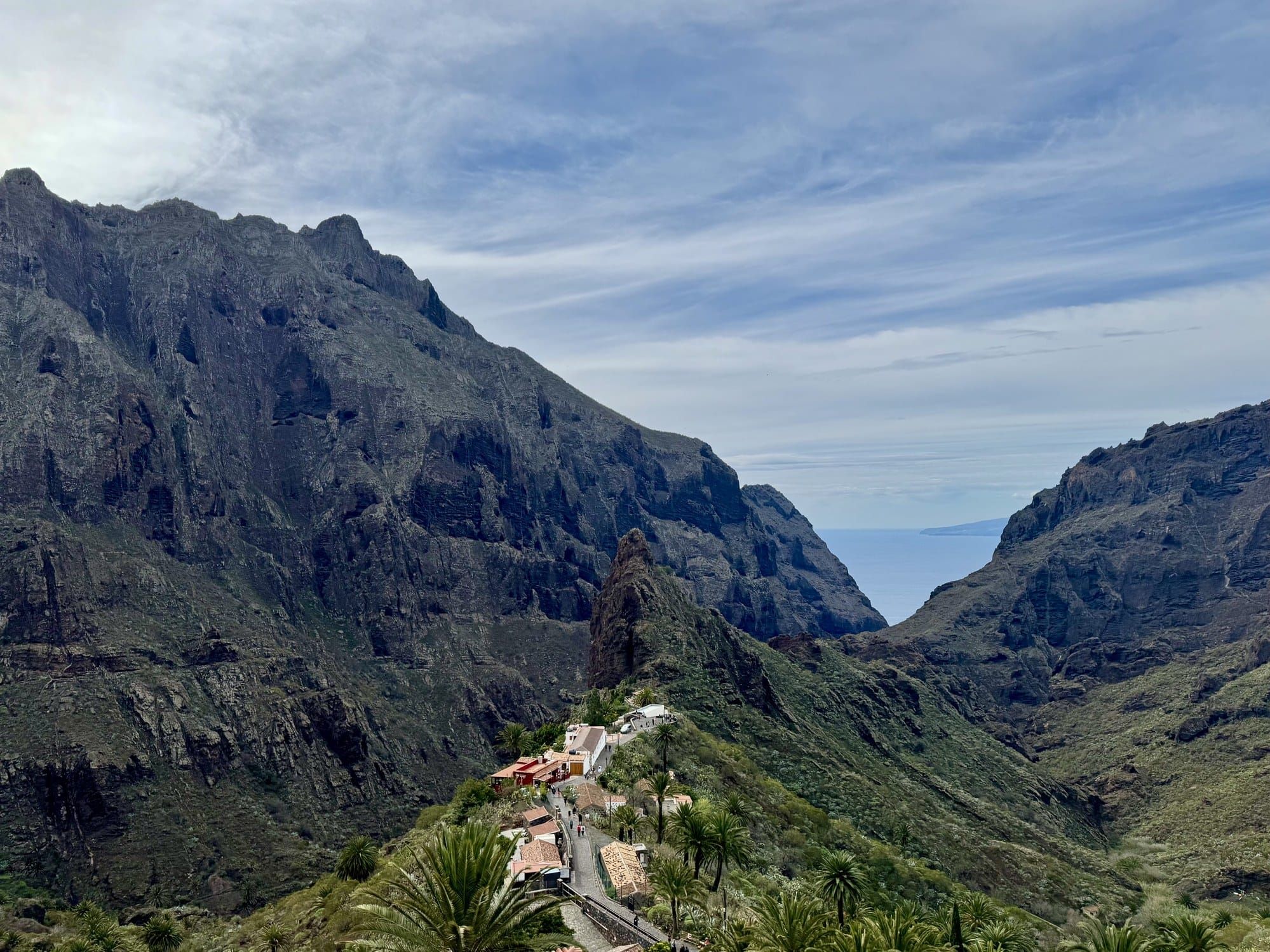
Clinging to the far western corner of Tenerife, the Teno peninsula is the island at its most dramatic. Volcanic cliffs plunge 600 metres straight into the Atlantic, a single serpentine road crawls into the barranco that shelters Masca village, and a stubby red lighthouse guards the Punta de Teno — the westernmost speck of the island. It's a compact landscape, but it rewards a full day.
We explored Teno over two separate days during a winter road trip — once on a quick reconnaissance from the north, and then a proper loop on New Year's Day with extended family. Here's how to make the most of Tenerife's wild west, with a rental car, a camera, and a strong stomach for hairpin bends.
Bookings: Some of the links in this article are affiliate links. This means that if you choose to make a booking, we will receive a small commission at no extra cost to you. Thank You!
Drive the TF-436 to Masca Village
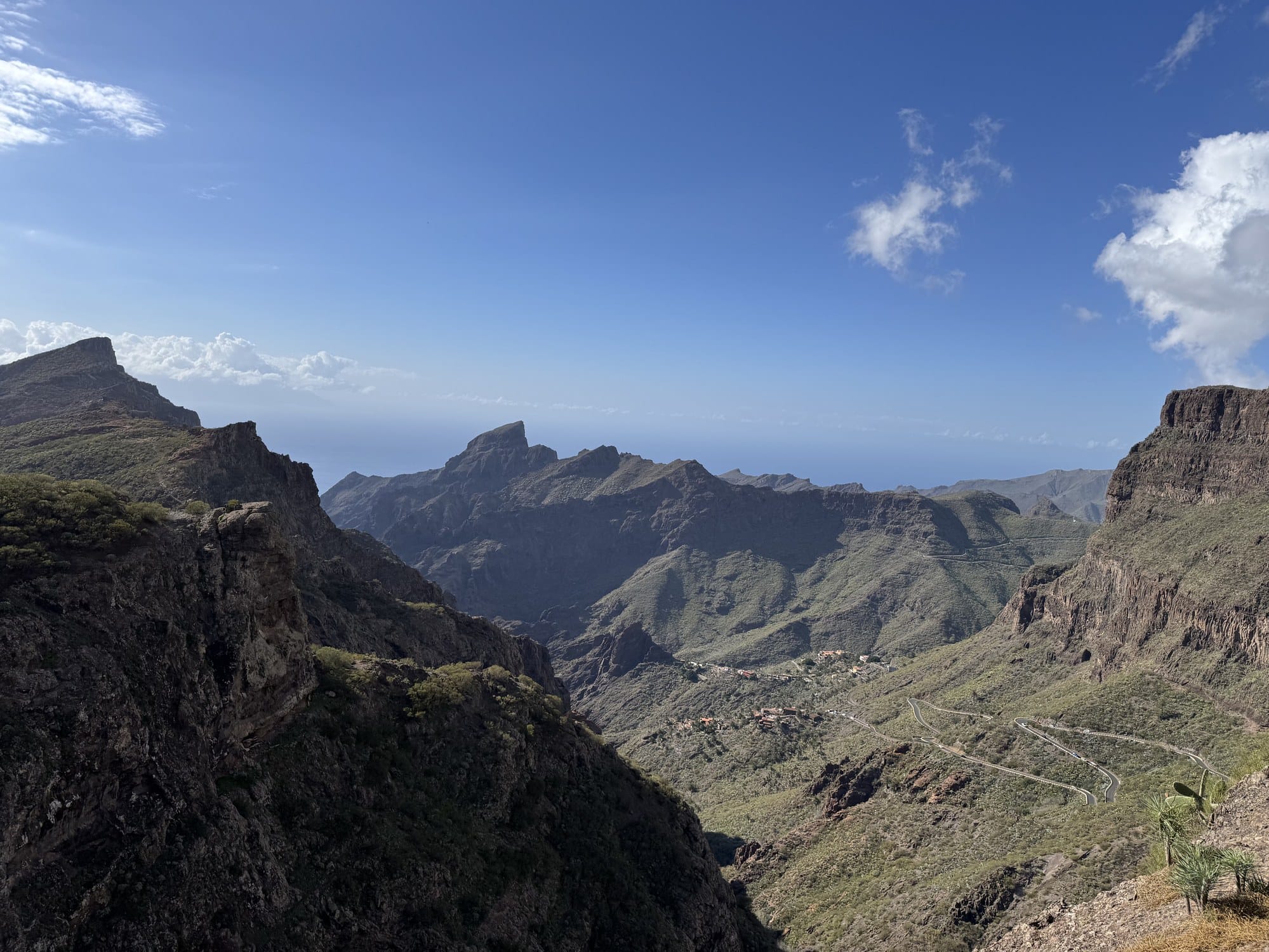
The road to Masca is, by itself, one of the great drives of the Canary Islands. Starting from Santiago del Teide, the TF-436 plunges into the Teno mountains, twisting through dozens of hairpins as it loses and regains altitude along the ridgeline. On one side, the massif falls away into the Atlantic. On the other, the knife-edge peaks of Teno rise sharp and bare.
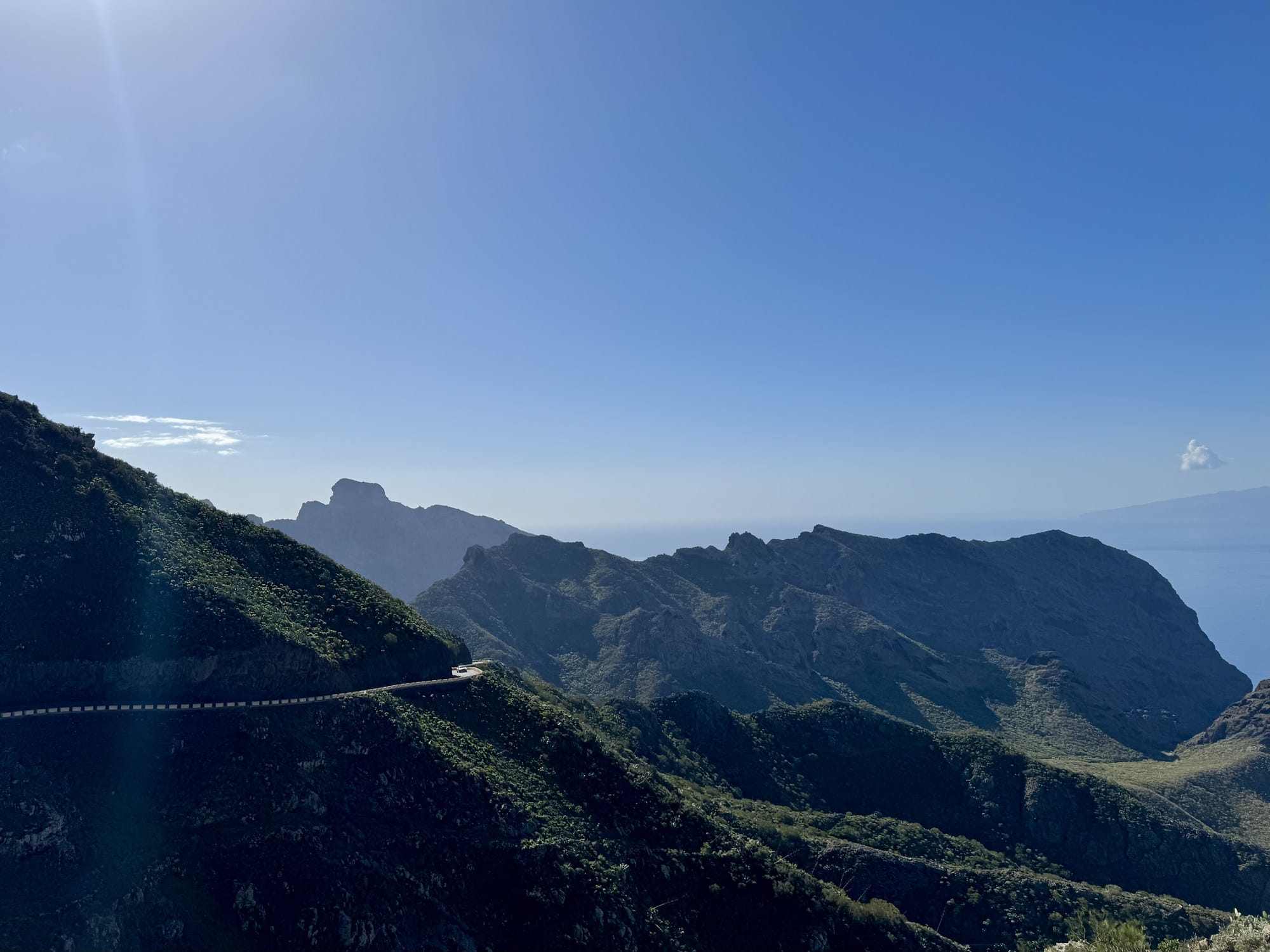
Allow at least 45 minutes to cover the 11 km from Santiago to Masca itself — not because it's far, but because you'll keep stopping. Two official miradors along the way give you the classic postcard views, and on a clear day, La Gomera sits on the horizon like a blue silhouette waiting to be painted.
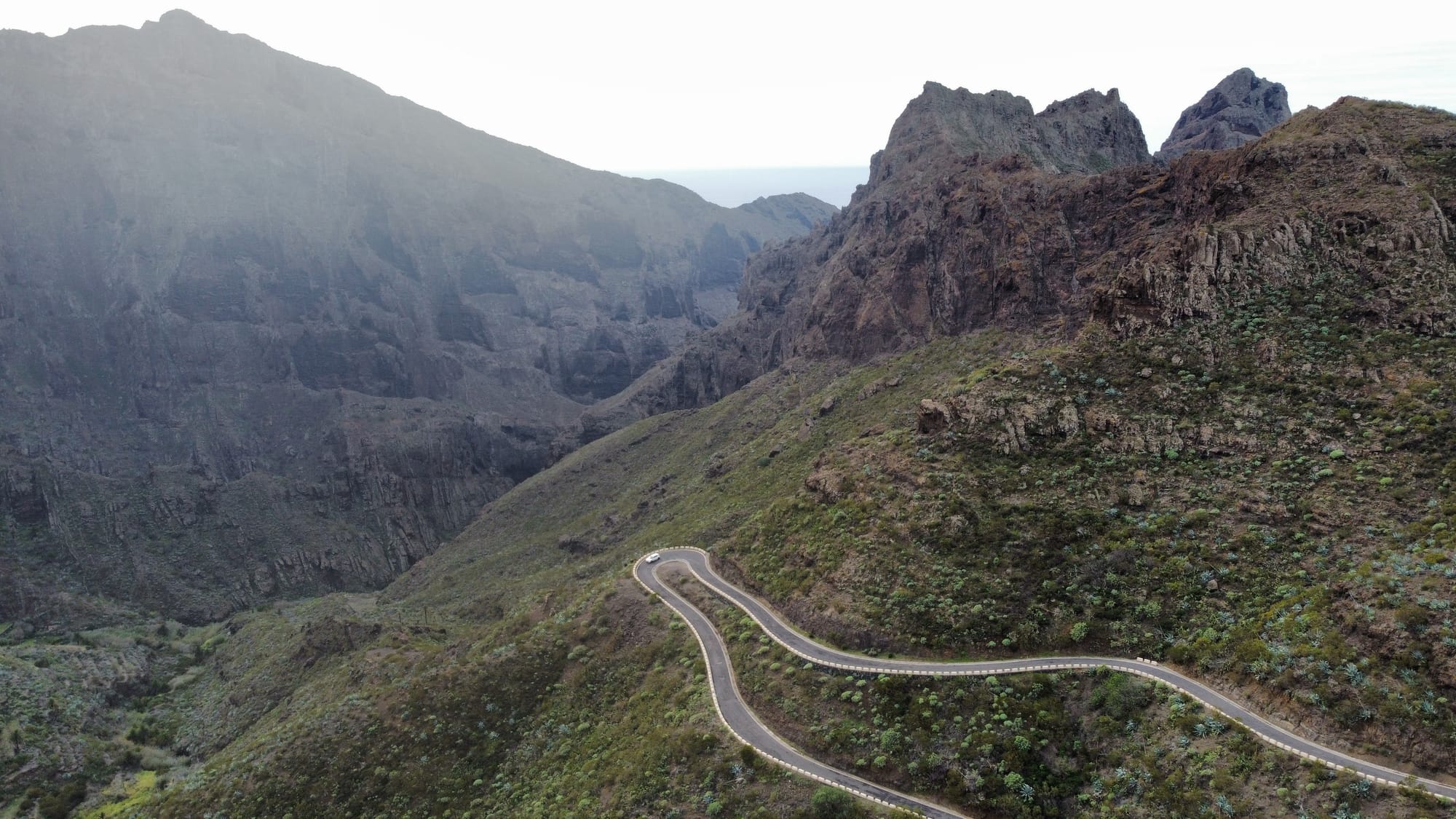
Park at Mirador Altos de Baracán
The first major pull-off after Santiago is the Mirador Altos de Baracán — a broad terrace with space for maybe fifteen cars. From here, the full Teno amphitheatre unfolds: jagged ridges, deep green gullies, and a distant flash of Atlantic blue. It's a good place to stretch legs before the road gets tighter.
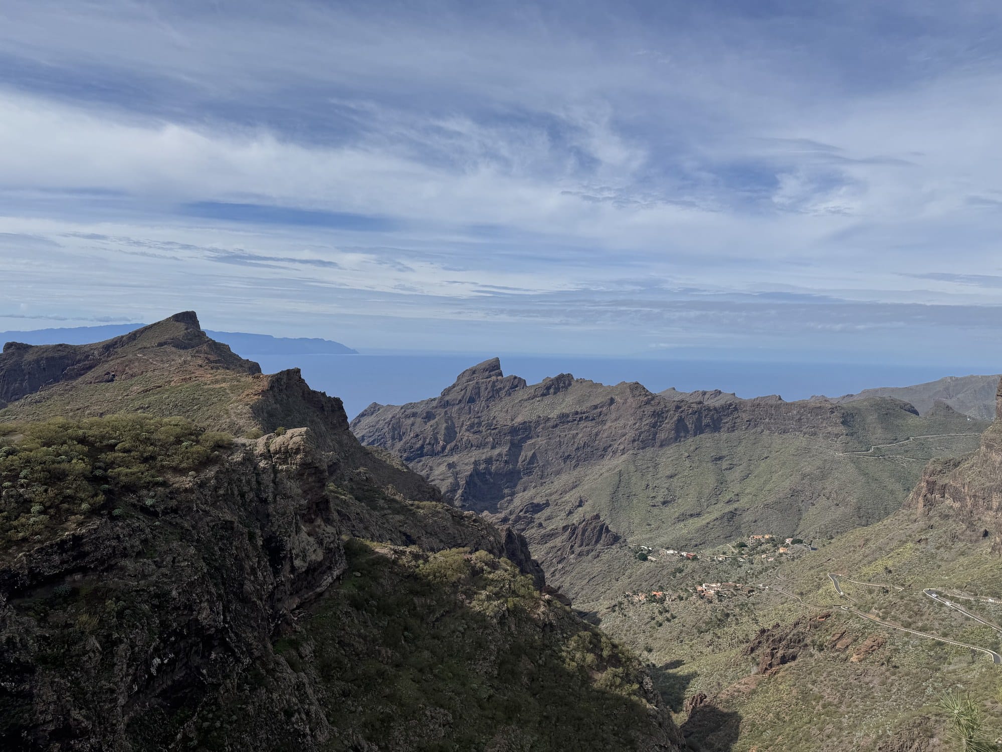
Admire Masca Village from the Mirador
Masca itself sits at 650 metres, tucked between two vertical walls of rock and scattered along a single steep ridge. For centuries, the village was reachable only on foot or donkey. Today, the TF-436 ends right above it, and a short walk down a cobbled path takes you to the first houses.
The iconic view of Masca — the one on the postcards — comes from the upper mirador just as you arrive. The village clings to the ridgeline with the Roque Catana, a pointed volcanic spire, rising in the centre of the frame. Clouds spill over the ridges behind.
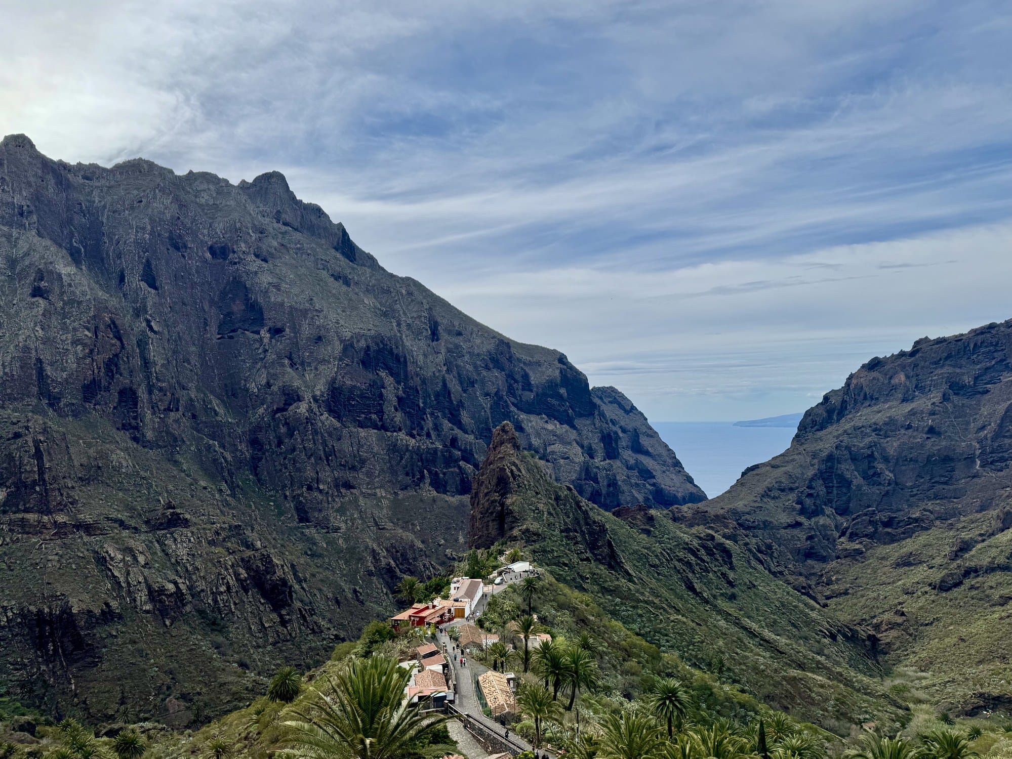
It's also worth climbing a few minutes further up the ridge behind the bar terraces, where fewer people go. From up there, the view widens to include the whole Teno amphitheatre and a distant flash of La Gomera — a reminder that you're standing on one of the most remote corners of Europe.
A Note on the Masca Gorge Hike
For years, the classic adventure here was to hike the full 600-metre descent of the Masca barranco to the Atlantic, then catch a boat back to Los Gigantes. The trail was closed for several years after a fatal rockfall in 2018, and when it reopened in 2021 it required a paid permit and a guided group. Check the latest status before arriving — with kids in the group, we skipped it. If you want to do it properly, a guided Masca gorge hike with boat return and transport handles the permit, the descent, and the boat shuttle back to Los Gigantes in one package.
Stand Beneath the Cliffs of Los Gigantes
From Masca, the road coils back down to the coast. A 20-minute drive south delivers you into Puerto de Santiago and Los Gigantes — and your first real sight of the cliffs.
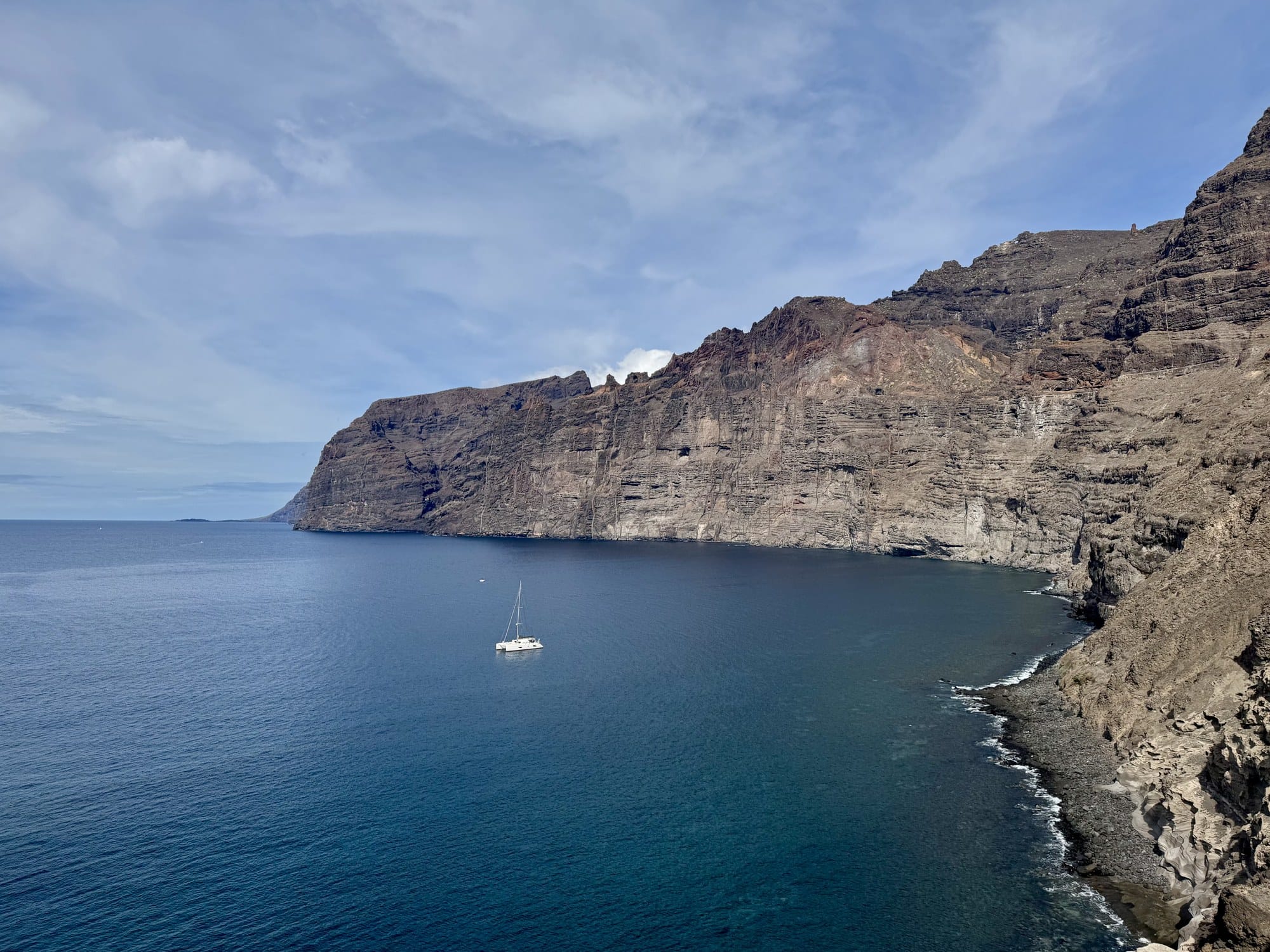
Acantilados de Los Gigantes — "Cliffs of the Giants" — are 8 kilometres of vertical basalt ranging from 300 to 600 metres high. Early Spanish sailors called them the "Wall of Hell" because they believed the world ended there. Standing beneath them, with the Atlantic slapping against the base, you understand why.
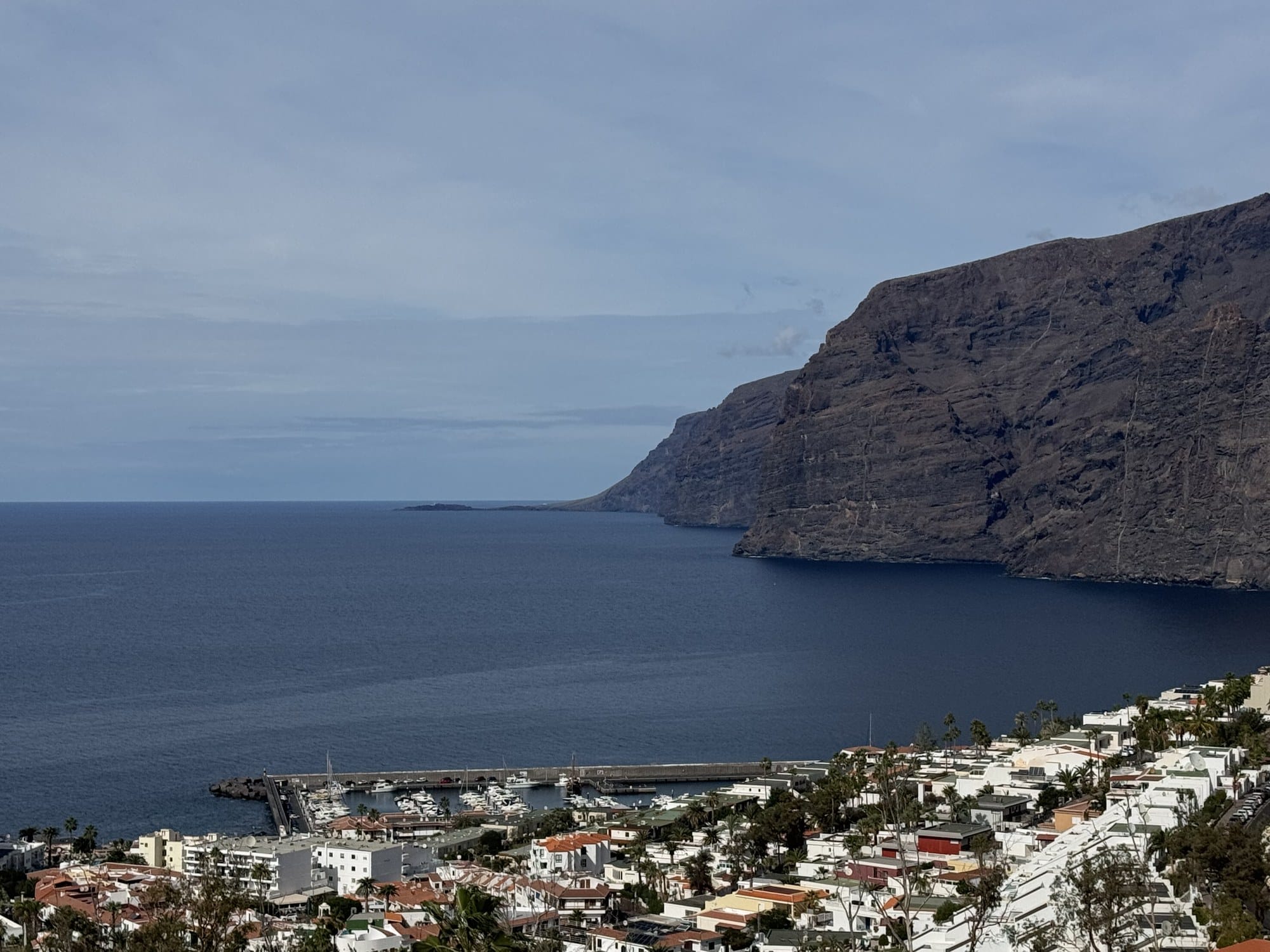
The most photogenic viewpoint is the Mirador de Archipenque, just behind the village. From there, the cliffs stretch north in full vertical silhouette, and a passing catamaran gives you the scale.
Take a Boat Beneath the Cliffs
The best way to appreciate the cliffs is from the water. A Los Gigantes dolphin and whale watching cruise with a swim stop is the classic half-day option — drinks on board, an anchor stop for swimming, and very good odds of seeing pilot whales or bottlenose dolphins in the channel between Tenerife and La Gomera.
If you'd rather do it under sail, a whale watching cruise by sailboat from Los Gigantes is quieter, smaller, and lets you glide right under the cliffs without an engine running. For adventure-minded travellers, a Los Gigantes to Teno boat trip with snorkelling adds a snorkelling stop in sheltered water off Punta de Teno.
If you'd rather keep it short, the ferry that shuttles between Los Gigantes and Masca beach also gives you a clean look at the full wall without committing half a day.
Drive to Punta de Teno Lighthouse
A completely different corner of the peninsula awaits on its northwestern tip. From Buenavista del Norte, the TF-445 descends to Punta de Teno — a low red headland with a striped lighthouse, a natural seawater pool, and the clearest view of La Gomera on the whole island.
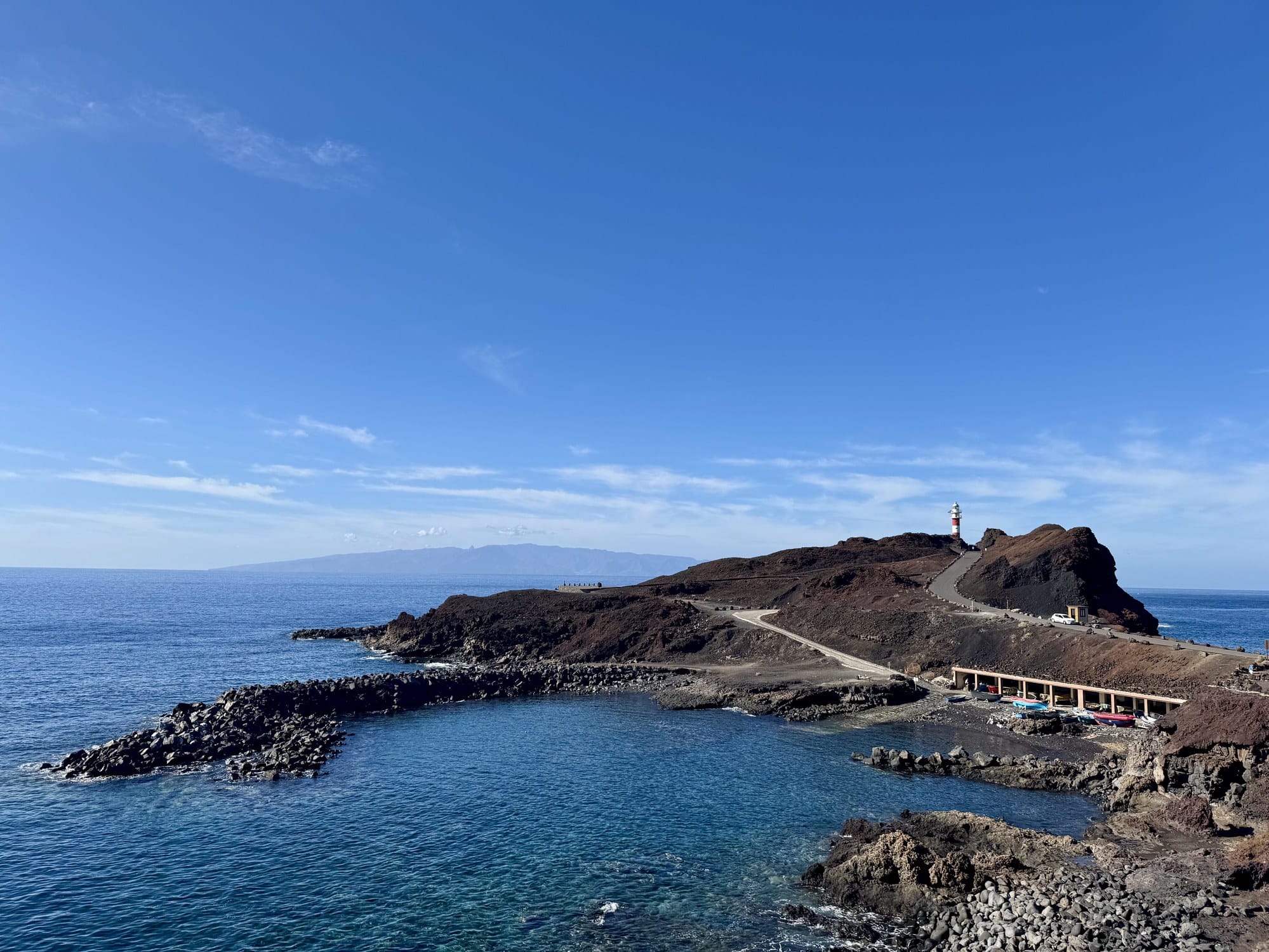
Pay attention to two practical notes here. First, the road is one-way during weekends and public holidays: private cars are blocked at Buenavista and you have to take the local bus instead. During the week, you can drive all the way to the lighthouse. Second, the road is subject to closure when heavy swell is forecast — check the morning of your visit.
The natural pool on the south side of the headland is one of the calmest spots to swim on this coast, even when the open Atlantic is too rough. It's shallow, sheltered, and perfect with kids.
Chase Sunset Down the West Coast
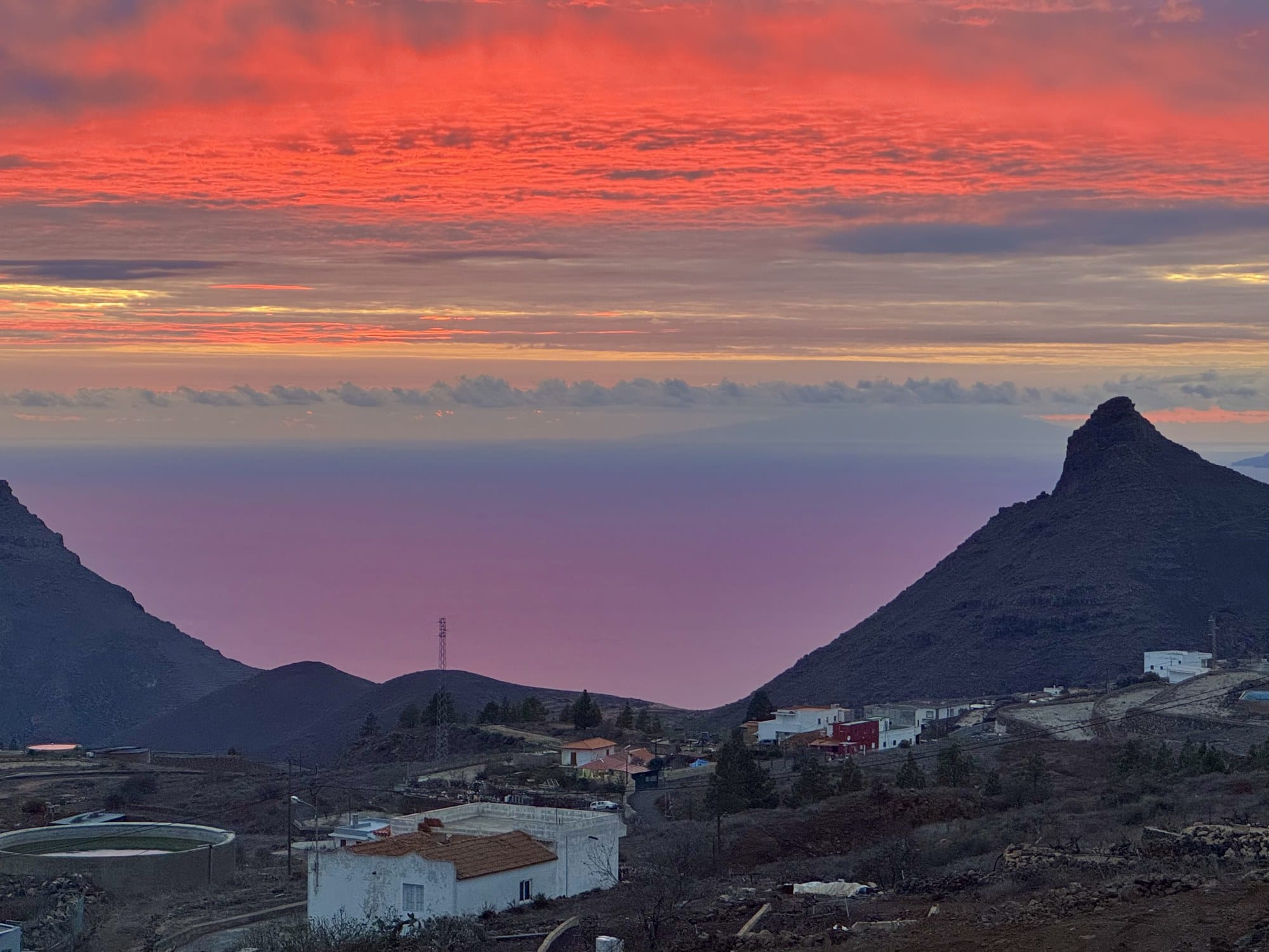
Leaving Los Gigantes on New Year's Day, we climbed up the TF-51 toward Ifonche and Vilaflor to catch sunset from the southern heights. The road from the coast up to 1,000 metres takes around 45 minutes and delivers you to a cluster of miradores just above the pine line — Mirador de la Centinela and Mirador Chirche are two of the best.
What unfolded that evening was the single most intense sunset of our trip: the sky turned blood-red above the silhouette of La Gomera, the pyramidal Roque del Conde glowed in purple, and the whole southwest of Tenerife dropped into shadow.
Planning Your Visit
Getting around: Absolutely rent a car for Teno. Public transport exists but is painfully slow — plan on picking up a rental car at Tenerife North or Tenerife South airport on day one and keeping it the whole week. — exploring Tenerife's north coast towns
Driving Masca: The TF-436 is narrow, twisting, and not recommended for anyone prone to motion sickness. Drive slowly, use low gear on the descent, and don't tailgate the car in front — it'll stop for a photo sooner than you think.
Best time: Spring (March–May) gives you the greenest hills and wildflowers along the TF-436. Winter is often the clearest for views to La Gomera.
Where to stay: For a Teno-focused trip, base yourself in the north around Icod de los Vinos, Garachico, or Puerto de la Cruz. Browse Tenerife hotels on Trip.com for under-40-minute drives to Masca.
Eating in Masca: A handful of village bars serve traditional papas arrugadas, local cheese, and grilled fish. Cash works better than card in some of them.
More of Tenerife & the Canary Islands to Explore
Teno is wild, but it's only one face of Tenerife. The volcanic crown of the island and the ancient forests of Anaga each deserve a full day, and the north coast sets the tone for the rest. If you loved Teno's cliffs and ravines, a few other MapTrotting guides go well with it too. — wild coast of south Lanzarote